

Google Earth is another excellent application from the provider of the most successful search engine. Over time this tool grew from a simple globe to a complex but easy-to-use interactive application. The three-dimensional globe is primarily created using satellite images, aerial images, and other geographic data. However, Google Earth is much more than just a globe. You can visit any place on this planet and see those places precisely as they are.
Note: If you are looking for directions, you should use Google Maps instead.
Google Earth for Education
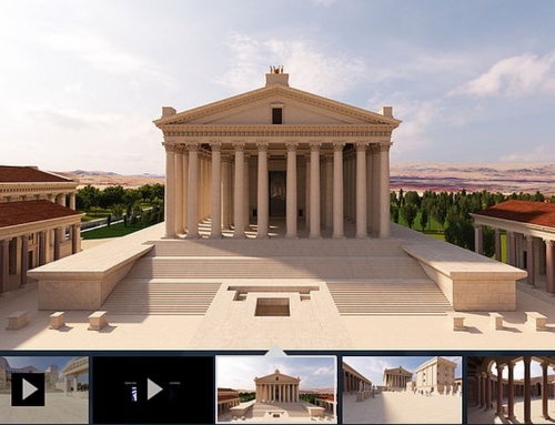
The perfect representation of our world makes Google Earth the ideal tool for education. Whether you are a student or just someone who wants to learn more about countries, cities, mountains, lakes, tourist attractions, or other geographic data, this smart application can help you locate and explore them. Have you ever seen the Great Pyramid of Giza? Just use the search function, and you will fly right to your destination. And then zoom in and use the Street View function to explore the pyramids.
But that’s not all. More recently, a Timelapse function was integrated with data from the last 37 years. This function impressively shows how coastlines change, megacities grow, or deforestation in rainforests progresses. This is intended to make the rapid environmental changes of recent decades less abstract and visible to everyone.
Google Earth Features
3D Models
For many cities on this planet, 3D building models have been added. If you zoom into an area of the globe, more and more details become visible. If this area is a city, then, at some point, you will start seeing the 3D models.
Street View
If Street View is available for a city, zoom close enough into the area you want to explore, activate Street View by clicking on the little figure in the lower right corner of Google Earth, and then click on a location from where you would like to start your journey. The view will change to a panoramic view, and you can move around by clicking on the white arrows.
Water and ocean
For some regions of the ocean and some lakes, Google added data for a higher resolution of the seafloor.
For more details about all the features above, please visit Google Earth on Wikipedia.
