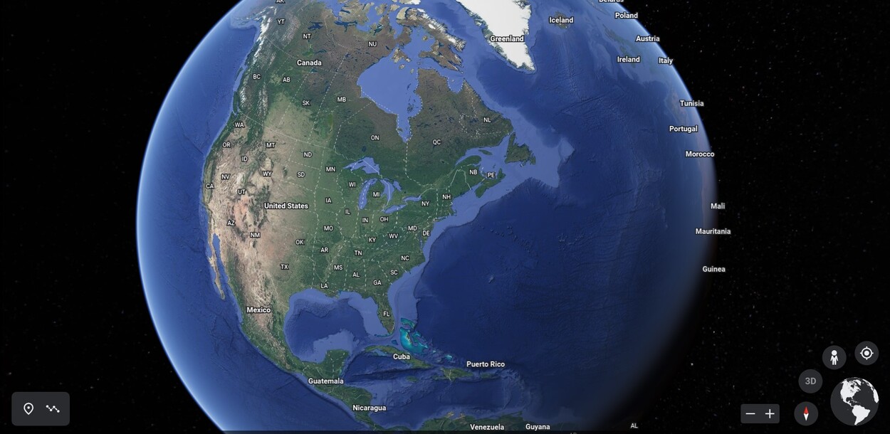
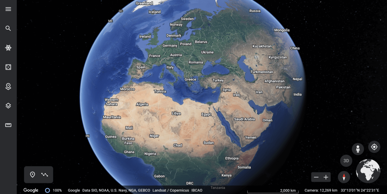
Google Earth is one of the most amazing pieces of technology available to us today. It allows us to explore the world from the comfort of our own homes, opening up the world to exploration and discovery. But just how often does Google Earth update its imagery?
The answer depends on several factors, including where you are located and what type of imagery you are looking for. Generally speaking, Google Earth updates most locations several times a year, but some places may be updated more or less often.
In this blog post, we’ll take a closer look at how often Google Earth updates its imagery, as well as some of the other features that are available through this incredible tool.
The Short Answer
Google Earth updates approximately once every one to three months. The exact frequency of updates depends on several factors, including the size of the area and the type of data being updated. Generally speaking, however, you can expect to see a new version of Google Earth roughly four times a year.
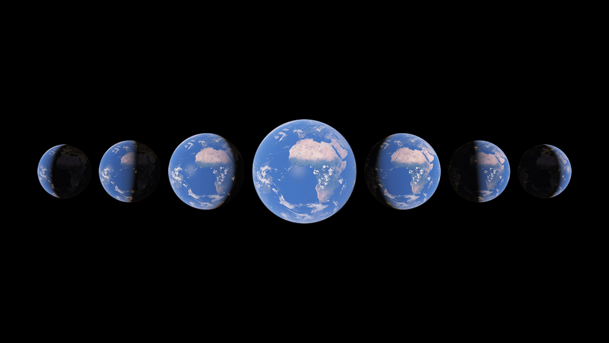
Google Earth also has a “Live” mode which gives you access to the most up-to-date imagery available, although it does not update as regularly as the “Standard” version.
The Live version is ideal for tracking real-time changes to the landscape, such as natural disasters or road construction. So in summary:
- Google Earth updates about 4 times per year.
- The updates usually include new imagery and 3D models of buildings and structures.
- The updates may also include new features and tools for users.
- The exact number of updates and the timing of the updates can vary from year to year.
The Long Answer

Google Earth is a powerful tool for exploring the world from the comfort of your own home. It allows you to view satellite images and terrain from almost any location on the planet. But how often does it update?
The answer depends on several factors, including where you are located and what type of imagery you are looking for. Generally speaking, Google Earth updates most locations several times a year, but some places may be updated more or less often.
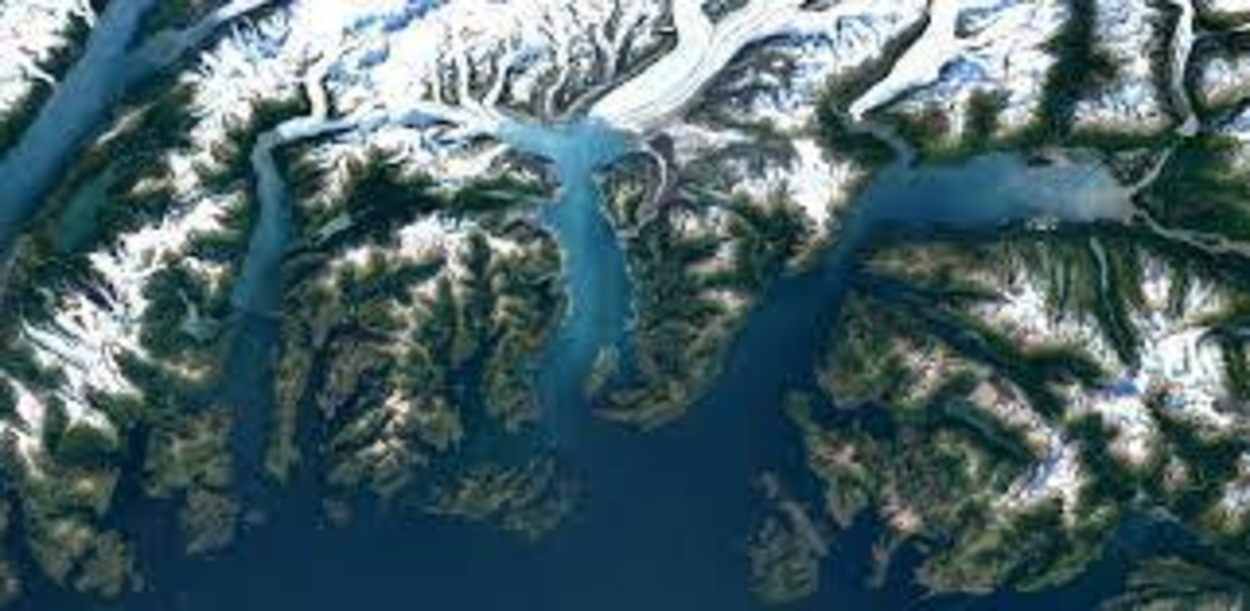
For example, cities or other heavily populated areas tend to have more frequent updates than rural areas. Additionally, Google Earth provides different types of imagery – including satellite imagery, aerial photos, and even street views – and each type can have different levels of update frequency.
So what affects how often Google Earth updates? The biggest factor is the amount of activity in an area. Areas with more people and activity tend to have more frequent updates since new images are captured more often. Additionally, geographic features such as roads, buildings, rivers, and forests can also influence how often an area is updated.
Finally, certain locations may be updated more frequently due to their importance or significance. For example, tourist destinations or politically sensitive areas may be updated more regularly than other locations.
If you’re interested in finding out when your specific location was last updated, there are a few ways to do so. First, check out the Imagery Date tool on Google Earth which will give you an estimated date when the imagery was taken.
You can also look at the Google Earth Community forum to find out when others in your area last experienced an update. Finally, keep an eye out for new features or changes to the terrain which can indicate that a new update has been released.
Overall, Google Earth updates most locations several times a year, although some places may be updated more or less often depending on the activity and features in that area. To find out when your location was last updated, you can use the Imagery Date tool, check the Google Earth Community forum, or look for changes in the terrain.
| Year | Number of updates |
| 2021 | 4 |
| 2020 | 4 |
| 2019 | 4 |
What Factors Affect How Often Google Earth Updates?

The frequency of Google Earth updates is affected by a variety of factors, including the amount of data available, the rate of data collection, the size of the area to be updated, and the level of detail desired. The larger the area to be updated and the more detailed the image, the longer it’ll take to update.
Additionally, the data collection rate can also affect how often Google Earth updates. Data collected from satellites, aerial photos, and street-level imagery are all sources that Google uses to update its images on Google Earth.
The rate of data collection is determined by many different factors, such as the availability of new imagery from satellites and aerial photography, as well as the speed at which street-level imagery is collected. Additionally, certain areas of the world may have more frequent updates than others due to differences in local terrain and other factors.
For instance, cities and densely populated areas will often receive more frequent updates than rural or less populated areas. Google also prioritizes certain areas for updates, so some regions of the world may be updated more frequently than others.
This prioritization is based on areas that are likely to benefit from fresh images more than others. Furthermore, updates are more likely to be released when Google adds new features or technology to its mapping services.
In conclusion, there are a variety of factors that affect how often Google Earth updates its images, including data collection rate, size of the area to be updated, level of detail desired, and prioritization of certain regions.
How to Find Out When Your Specific Location Was Last Updated
Finding out when your specific location was last updated on Google Earth is relatively simple. First, open up Google Earth and search for your specific location.
Once you have zoomed into your location, look at the bottom left corner of the screen to see when it was last updated. The date will be displayed there.
Alternatively, you can use a web browser to find out when your location was last updated. On the Google Earth homepage, select “Timeline” from the top menu bar. Once the timeline has loaded, enter your location into the search box and click “Search.”
This will bring up a list of all the times that your location has been updated. You can then select the most recent update and view the date associated with it.
Finally, if you’re looking for information about when a particular location was first added to Google Earth, you can use the “History” feature. This can be accessed by selecting “History” from the top menu bar on the Google Earth homepage.
From here, enter your location into the search box and click “Search”. This will provide you with information about when your location was first added to Google Earth, as well as other important dates associated with it.
By following these simple steps, you can easily find out when your specific location was last updated on Google Earth. Knowing this information can help you stay up to date with any changes that have been made and ensure that you are seeing the most recent version of your location on Google Earth.
FAQs
How Often Does Google Earth Update its Images and Data?
Google Earth updates its images and data on a continuous basis. However, the frequency of updates can vary depending on the location and availability of new imagery.
Some areas may be updated more frequently than others, and some images may be several years old.
Can I See When a Specific Location Was Last Updated on Google Earth?
Yes, you can see when a specific location was last updated on Google Earth. To do this:
- Open Google Earth and zoom in on the location you are interested in
- Right-click on the location and select “Properties” from the menu. This will bring up a window showing the date of the most recent imagery for that location.
Is it Possible to See Real-time Imagery on Google Earth?
No, Google Earth does not offer real-time imagery.
The images and data on Google Earth are typically several months to a few years old.
Q4: Are There any Alternatives to Google Earth That Offer Real-time Imagery?
There are several alternatives to Google Earth that offer real-time or near real-time imagery, such as:
These services may offer satellite or aerial imagery with a shorter delay than Google Earth. It’s important to note that the availability and resolution of real-time imagery can vary depending on the provider and the location.
Conclusion
- In conclusion, Google Earth updates its images and data on a continuous basis, but the frequency of updates can vary depending on the location and availability of new imagery.
- Some areas may be updated more frequently than others, and some images may be several years old. While Google Earth does not offer real-time imagery, several alternatives offer real-time or near real-time imagery.
- It’s important to note that the availability and resolution of real-time imagery can vary depending on the provider and the location.
- Overall, Google Earth is a valuable tool for exploring and visualizing the Earth’s surface, but it’s important to keep in mind that the imagery may not always be up-to-date.
Related Articles
- Can You Use Google Earth Without Downloading It? [Find Out]
- Can I See My House on Google Earth? (Find Out!)
- How to Use Google Earth Online (A Beginner’s Guide)
Click here to view the Visual Story Version of this Article.