Galgenhügel
Galgenhügel is a peak in Erfurt, Thuringia and has an elevation of 212 metres. Galgenhügel is situated nearby to the locality Wüstung Barkhaus and the village Schwerborn.Notable Places in the Area

St. Lukas (Schwerborn)
Church
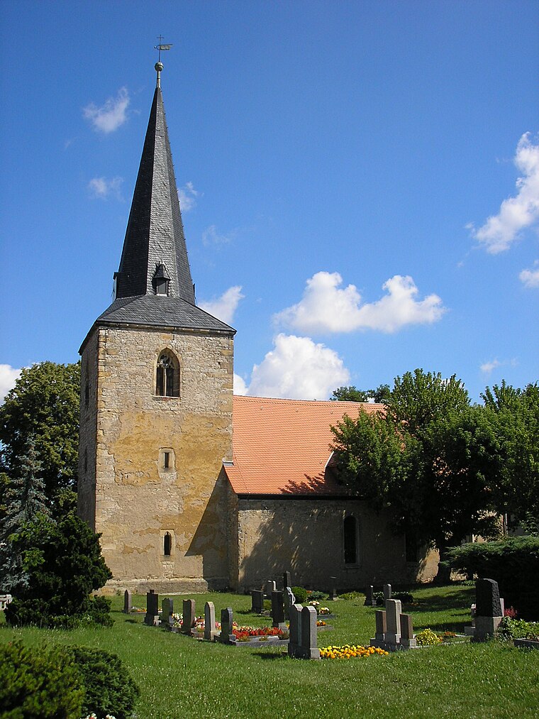
Photo: Michael Sander, CC BY-SA 3.0.
St. Lukas (Schwerborn) is a church.
St. Peter and Paul (Stotternheim)
Church

Photo: Michael Sander, CC BY-SA 3.0.
St. Peter and Paul (Stotternheim) is a church.
Localities in the Area


Großrudestedt
Village

Photo: Wikswat, CC BY-SA 3.0.
Großrudestedt is a municipality in the Sömmerda district of Thuringia, Germany.
Galgenhügel
- Type: Peak with an elevation of 212 metres
- Description: hill in Thuringia, Germany - Geonames ID=2922900
- Categories: hill and landform
- Location: Erfurt, Thuringia, Germany, Central Europe, Europe
- View on OpenStreetMap
Latitude
51.05412° or 51° 3' 15" northLongitude
11.08276° or 11° 4' 58" eastElevation
212 metres (696 feet)Open Location Code
9F3H333M+J4OpenStreetMap ID
node 9726093623OpenStreetMap Feature
natural=peakGeoNames ID
2922900Wikidata ID
Q30712821Galgenhügel Satellite Map
© OpenStreetMap, Mapbox and Maxar
Also Known As
- Cebuano: Galgenhügel
- German: Galgenhügel
- Galgenhuegel
Other Places Named Galgenhügel
Localities in the Area
- Wüstung BarkhausLocality
- SchwerbornVillage
- Erfurter SeenLocality
- StotternheimSuburb
- SchwanseeVillage
Landmarks in the Area
- GalgenhügelScenic viewpoint
- Biogasanlage Erfurt-SchwerbornPower station
- Grüne Kirche am LuthersteinChurch
- Tierfriedhof am LuthersteinCemetery
- FreilaufMeadow
Escape to a Random Place
Discover other destinations in the world.
About Mapcarta. Thanks to Mapbox for providing amazing maps. Data © OpenStreetMap contributors and available under the Open Database License. Text is available under the CC BY-SA 4.0 license, excluding photos, directions and the map. Photo: Taxiarchos228, FAL.